
Researchers Release Open Dataset of 6,200 Images for PV Robot Navigation
An international team has published an open-access dataset designed to train AI systems for autonomous solar panel cleaning robots. The collection includes 6,200 annotated images featuring various levels of synthetic and physical contamination to improve visual navigation accuracy.
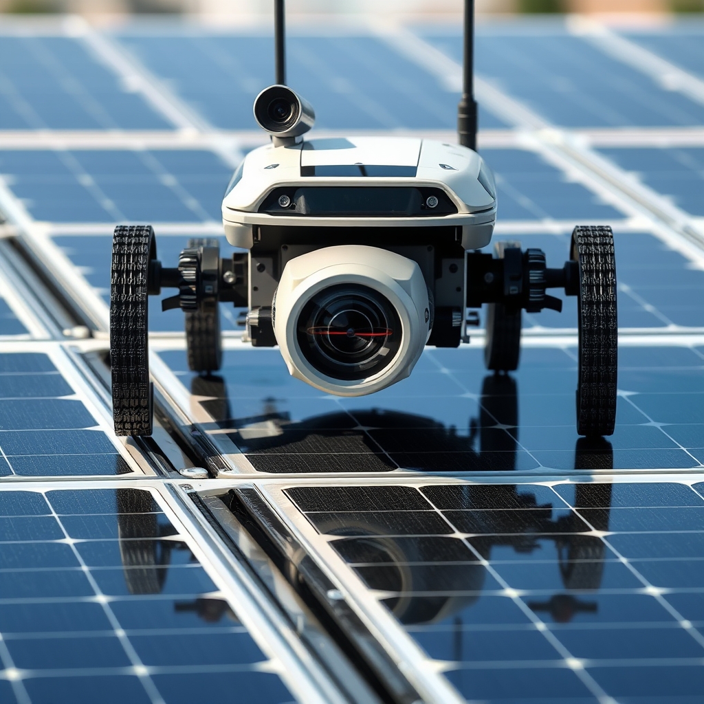
An international research team has created an open-access image dataset specifically for the autonomous navigation of photovoltaic cleaning robots. The collection, published in the journal Data in Brief, contains 6,200 annotated solar panel images intended to enhance machine learning capabilities for solar maintenance.
According to pv magazine, the dataset is designed to address the challenge of visual navigation in dirty environments. By providing a standardized set of visual data, the researchers aim to help developers train algorithms that can reliably identify structural features on solar modules despite varying conditions.
The release marks a step toward more autonomous solar farm maintenance, offering a foundational resource for the robotics and AI communities working on clean energy infrastructure.
Data Composition and Contamination
The dataset’s visual diversity is engineered to mimic the unpredictable realities of field operations. Rather than relying solely on pristine laboratory shots, the collection stratifies images into three distinct categories to ensure robust model training. This approach forces algorithms to distinguish between actual structural features and transient visual noise.
- Images include clean, synthetically contaminated, and physically soiled modules.
- Five severity levels of synthetic contamination included.
- 200 additional images captured from physically contaminated panels.
- Contamination types: bird droppings, water stains, puddles, glare, frame dust, pigment, sand, wastewater.
Synthetic contamination allows researchers to control variables with precision. By applying five distinct severity levels to digital images, the team can isolate how specific degradation stages affect visual recognition. This granularity helps identify the exact threshold where navigation algorithms might fail, providing a clearer diagnostic tool than uncontrolled field data alone.
Physical contamination adds the necessary layer of real-world unpredictability. The 200 additional images captured from physically contaminated panels introduce organic and inorganic messes that digital filters cannot perfectly replicate. These samples feature bird droppings, water stains, puddles, glare, frame dust, pigment, sand, and wastewater. Such debris is common in outdoor installations, where environmental factors constantly alter the surface appearance. Including these specific pollutants ensures that the resulting models can handle the messy, low-contrast visuals typical of operational solar farms, rather than just idealized conditions.
Capture Hardware and Processing
The visual data originates from a specific hardware configuration designed to balance field fidelity with the computational constraints of mobile robots. Researchers employed an HF868-2 camera, positioned precisely 15 cm above the module surface during capture. This proximity ensures that structural details remain distinct, which is essential for algorithms attempting to navigate tight spaces between panels. The optical setup utilizes a 2.7 mm wide-angle lens, providing a broad 135-degree field of view. Such a wide perspective allows the robot to monitor its immediate surroundings comprehensively, reducing the need for frequent panning or repositioning to maintain situational awareness in cluttered array environments.
Video acquisition occurred at a resolution of 320 × 240 pixels, with a frame rate of 60 frames per second. This high frame rate captures rapid movement and dynamic lighting changes, such as shifting glare, which can momentarily obscure panel edges. However, raw video data is often too data-heavy for the limited processing power available on onboard robotic systems. To address this, the researchers resized all images to 160 × 120 pixels. This reduction significantly lowers the computational load, enabling real-time inference on embedded hardware without sacrificing the core geometric features required for navigation. The trade-off between resolution and processing speed is a common challenge in edge computing, where maintaining low latency is often more critical than absolute image clarity for basic pathfinding tasks.
Annotation and Validation Strategy
The dataset’s utility hinges on rigorous labeling and a balanced split between training and evaluation phases. Researchers manually annotated 800 clean images, identifying three distinct structural reference line types. These lines serve as the primary geometric cues for navigation algorithms, allowing robots to orient themselves relative to panel edges and inter-module gaps. By focusing on these specific features, the annotation process prioritizes the structural information necessary for safe path planning over broader semantic understanding. The coverage of these reference lines varies significantly, ranging from 1% to 50% of the image area. This wide distribution ensures that models learn to detect lines even when they are partially obscured or fragmented by debris, a common scenario in operational solar farms where visibility is rarely uniform.
To expand the training corpus without capturing new physical data, the team applied synthetic augmentation to the annotated set. This process generated 4,800 additional images for training and validation purposes. Augmentation techniques typically involve altering lighting, adding noise, or shifting perspective, which helps prevent overfitting and improves generalization. The remaining 1,200 images were reserved exclusively for testing across six different conditions. Keeping a separate, unseen test set is standard practice in machine learning to provide an unbiased assessment of model performance. This separation allows developers to verify that the algorithms can maintain accuracy when encountering novel combinations of contamination and structural features, rather than simply memorizing the training data.
| Category | Image Count | Primary Purpose |
|---|---|---|
| Manually Annotated Clean | 800 | Ground truth for reference lines |
| Synthetic Augmentation | 4,800 | Training and validation |
| Test Set | 1,200 | Performance evaluation |
The distribution of these figures reflects a deliberate strategy to maximize robustness. While the 800 annotated images provide the precise geometric definitions required for navigation, the much larger augmented set exposes the model to a wider variety of visual permutations. This approach is critical for deployment in real-world environments, where lighting conditions and panel soiling levels fluctuate constantly. By validating the system against 1,200 distinct test cases, the researchers can measure how well the navigation logic holds up under stress. For robotics developers, this structured validation framework offers a benchmark for comparing different visual navigation architectures. It highlights the importance of not just collecting data, but curating it to ensure that the resulting algorithms can reliably interpret structural cues despite the visual noise inherent in outdoor solar installations.
What to watch
The release of this dataset marks a shift from proprietary, siloed visual models to a shared benchmark for photovoltaic robotics. With participation from the University of Technology Malaysia, University of Prince Edward Island, Thomas More University, Western Norway University, and Amrita Vishwa Vidyapeetham, the effort demonstrates a multi-institutional commitment to standardizing how machines perceive solar arrays. The core novelty, as noted by the researchers, lies in developing a photovoltaic image dataset specifically for visual navigation, rather than general defect detection. This distinction matters because navigation requires precise geometric localization, not just image classification.
A key open question is how well algorithms trained on this data transfer to other robotic platforms with different sensor suites or processing constraints. The dataset highlights that different forms of contamination can systematically obscure the same photovoltaic reference lines, creating a consistent challenge for visual odometry and path planning. Readers should monitor subsequent studies that test these models on larger, more complex field deployments. Specifically, look for evidence of cross-platform validation and whether the navigation accuracy holds up when robots encounter novel debris patterns not represented in the initial six test conditions. Success here will determine if open-source visual navigation becomes a standard component for autonomous solar maintenance fleets.
Source: pv magazine. This article is an original Luminity report based on the linked source.